Know the difference.
Stay alive.
No meteorology degree required. Here's everything a regular person needs to understand severe weather alerts, what the numbers mean, and what to actually do when things get dangerous.
Conditions are right for it
A watch means the atmosphere has the right ingredients for severe weather to develop. Nothing is happening yet — but it could. Think of it as "be ready."
Watches cover large areas and can last several hours. This is your time to plan: know where your shelter is, charge your phone, and stay tuned to local alerts.
It's happening — act now
A warning means a severe storm has been detected on radar or confirmed by a trained spotter. The threat is imminent or already occurring in your area.
Warnings cover smaller, more specific areas and typically last 30–60 minutes. Don't wait to see or hear the storm — move to shelter immediately.
Advisory sits below a watch — issued for hazardous but less severe conditions like dense fog, frost, or gusty winds. Worth paying attention to, but not an emergency. The full escalation chain is: Advisory → Watch → Warning.
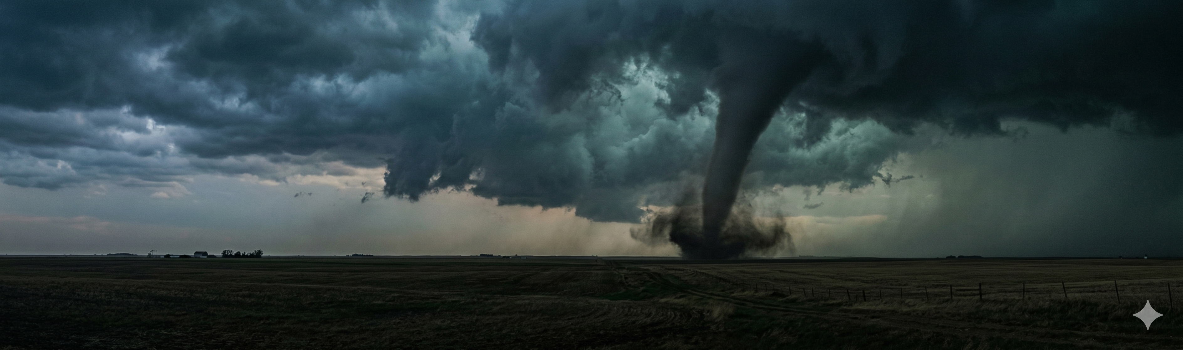
Weak — Minor Damage
Branches snapped, shallow-rooted trees toppled, minor roof and sign damage. EF0s account for over half of all recorded tornadoes. Still dangerous to be outside — never try to outrun or watch one.
Weak — Moderate Damage
Roofs peeled off, mobile homes flipped or heavily damaged, cars pushed off roads. At EF1 a tornado becomes genuinely life-threatening — go to your interior shelter immediately.
Strong — Considerable Damage
Roofs torn off well-built homes, large trees snapped or uprooted, mobile homes destroyed, cars lifted. This is the "significant tornado" threshold — only the lowest interior room provides real safety above ground.
Strong — Severe Damage
Entire stories of well-built homes destroyed, trains overturned, trees stripped of bark, heavy vehicles thrown. Exterior walls offer almost no protection — underground shelter is strongly recommended.
Violent — Devastating Damage
Well-constructed homes leveled and swept away, cars thrown hundreds of yards, large debris becomes lethal at extreme speeds. Only a hardened underground shelter or reinforced safe room provides real protection.
Violent — Incredible Damage
Strong framed homes swept completely off foundations, reinforced concrete structures critically damaged, cars reduced to unrecognizable debris. EF5 tornadoes are extremely rare — less than 0.1% of all tornadoes — but represent total destruction along their paths. Underground is the only survivable option.
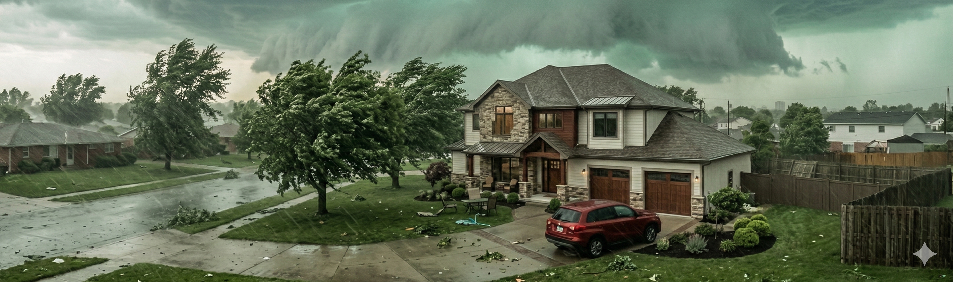
Derecho — A widespread, long-lived straight-line windstorm produced by a band of fast-moving thunderstorms. It can travel hundreds of miles and produce tornado-equivalent damage across a massive swath of land, often outpacing warning systems. If a derecho is forecast, treat the entire threatened area as you would a tornado warning zone.

A baseball-sized hailstone hits the ground at over 100 mph. Never go outside to get a closer look or retrieve your car — the storm can intensify with no warning. Get away from windows and wait for the all-clear.
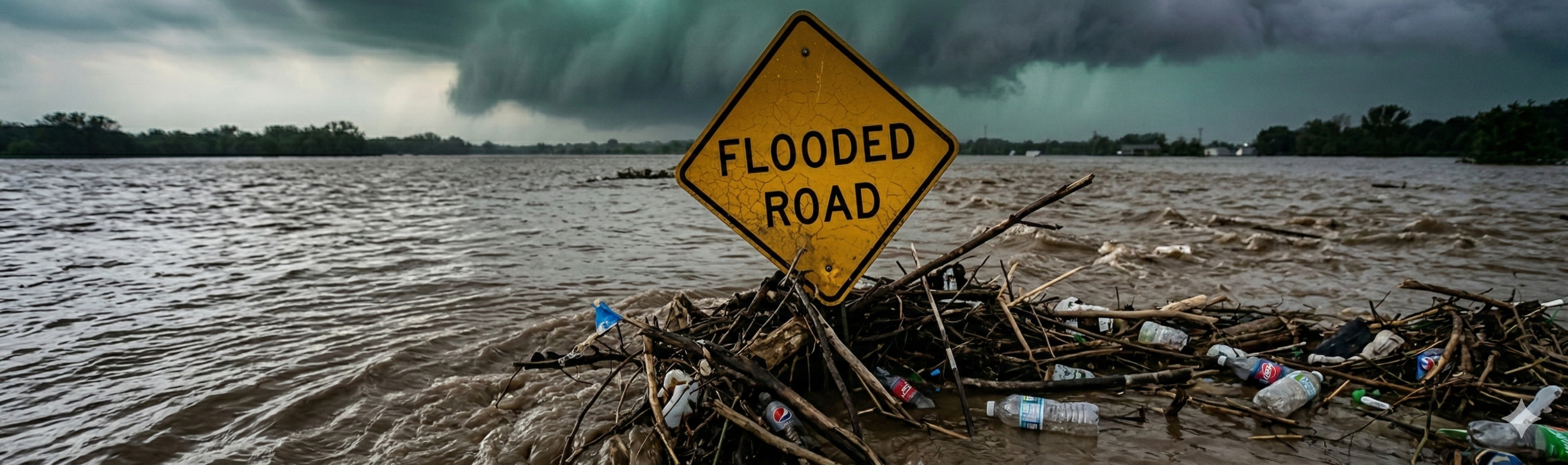
More than half of all flood deaths happen in vehicles. Water on a road is almost always deeper than it looks, and moving water has incredible force. Don't assume your truck or SUV can handle it. If a road is flooded — find another route. No destination is worth your life.
Flash Flood
Sudden, rapid flooding within 6 hours of heavy rain — sometimes within minutes in urban areas, canyons, and near streams. Can strike with little warning even under clear skies downstream.
River Flooding
Slower-developing as rivers rise over hours or days from sustained upstream rainfall. Can persist for days or weeks and affect areas far from where the rain actually fell.
Urban / Street Flooding
Paved surfaces can't absorb rain. Even a moderate storm can overwhelm drainage systems and flood streets, underpasses, and basements within minutes — especially in dense city areas.